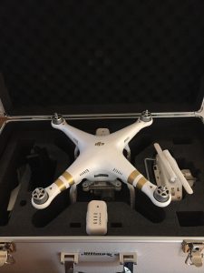
Providing Professional FAA Licensed Drone Services.
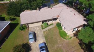
Replace risky forms of visual inspection of structures requiring persons to be at risk performing the visual inspection. Reduce the use of platforms on suspension ropes and possible inspector injury.

- Aerial Inspection Data Gathering
- Bridges
- Buildings
- Cell and Radio Towers
- Roofs & Roof mounted Structures
- Chimney Structures, Industrial & Residential
Pinpoint areas of concern, streamline business practices or monitor a large area for pollution concerns. Accurately gather data points allowing your engineering or other professional firm to quickly produce geographic surveys for construction development and titling.
- 3D Modeling
- Topographic Mapping
- Emissions Control Surveys
- Construction Site Workflow
- Thermal Mapping


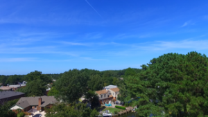
BizAerial provides the aerial perspective you are looking for in your projects.
- Recreation
- Entertainment
- Media Production
- Aerial Photography